As I discussed in my previous post, How KAUST’s Latest Seed Fund Winners Are Shaping the Future of Saudi Arabia, 4 entrepreneurial teams recently won financing from the KAUST Seed Fund, a product development funding mechanism run by King Abdullah University of Science and Technology that provides up to $200,000 over a span of 24 months.
Since I had the pleasure of hearing each team pitch at the latest Seed Fund Gala, I would like to share my point of view on these pitches. This will give you a look into what goes through an angel investor’s mind while listening to entrepreneurs present.
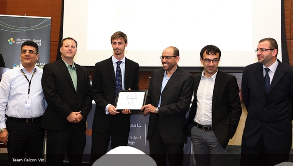
The first team pitch I would like to analyze is that of Falcon Viz, creators of a new aerial scanning and modeling system that offers accurate, high-resolution scans and complete 3D models through an automated, repeatable, and cost-effective process.
The Problem
City planners, industrial centers, construction companies, cultural heritage organizations, and real estate professionals can’t physically see the layout and structure of their most important assets. They need solutions for handling high-resolution surveying, 3D scanning, aerial mapping, and modeling.
However, the technologies on the market are too slow to provide real-time inspection of buildings, can’t generate a complete picture of each location, and do not provide adequate documentation of each area scanned.
The Solution
Falzon Viz provides a real-time scanning and modeling solution that offers complete documentation of any accessible area. With Falcon Viz, clients can benefit from highly accurate, high-resolution scans and complete 3D models.
How the Product Works
Falcon Viz uses copter drones to take photographs of sites, along with proprietary modeling software to create corresponding 3D models.
The Technology
The Falcon Viz team first sends multi-rotor copter drones on pre-determined flight paths to capture numerous high-resolution photos from different perspectives. Next, the team uses AerialSFM, their in-house 3D modeling software, to reconstruct the exact position of each camera, along with all of the positions in which photos were taken, and creates a sparse point cloud model of the area. Finally, the team processes all of the relevant data to create a complete 3D model.
Where It Fits into the Market
Falcon Viz may displace existing scanning and modeling technologies for property owners, land owners, and stewards of culturally important sites who prioritize speed, accuracy, detailed documentation, and cost-effectiveness.
Patent Status
Unknown.
Benefits to Saudi Economy
Locally, Falcon Viz could lead to more cost-effective construction, improved building security, and better-maintained buildings and sites of cultural importance.
Usages
Intended uses of Falcon Viz include scanning, modeling, and documenting landscapes, buildings, and areas relevant to cultural heritage. Thus, Falcon Viz aids the processes of planning, constructing, inspecting, maintaining, and protecting important areas.
Features
○ Proprietary 3D modeling software (Aerial SFM)
○ Non-obtrusive multirotor copter aerial drones
○ Production of orthophoto mosaics, digital terrain models, and 3D fly-through videos
Benefits
○ Real-time scanning to save time for clients
○ High accuracy, high-resolution scans for hassle-free documentation
○ Automated process is repeatable, allowing clients to update 3D models as desired
○ Cost-effective
Market
Falcon Viz’s technology serves the industrial, construction, real estate, and public sectors. Thus, it operates in the business-to-business and business-to-government arenas.
Competitive Landscape
Established technologies in this field include laser scanning, satellite imaging, and airborne photogrammetry.
Team
Names and Profiles of Team Members
○ Luca Passone
○ Mohamed Shalaby
○ Neil Smith
Credentials
Passone holds a Bachelor of Science in Computer Science from the University of Kent, a Master of Science in High Performance Computing from KAUST, and is currently an Earth Science Ph.D. Candidate at KAUST. He has held employee and intern positions at IBM and worked as an IT Consultant for Detica (now BAE Systems Applied Intelligence).
Dr. Shalaby has earned a Bachelor of Science and a Master of Science from the University of Alexandria, both in Mechanical Engineering. He also holds a Ph.D. in Technical Mathematics from Johannes Kepler University. Currently, he is a Senior Research Scientist at KAUST’s Visual Computing Center.
Dr. Smith holds a Bachelor’s, Master’s, and Ph.D. in Anthropology from the University of California, San Diego. Many of his research interests involve applying technology to the field of archaeology. He works as a Research Scientist at KAUST’s Visual Computing Center.
Big-Picture Impact on the Saudi Economy
The team behind Falcon Viz describes their method as the solution for both preserving Saudi Arabia’s cultural heritage and allowing the Kingdom to develop quickly. Through scanning and modeling services, Falcon Viz can help ensure that historical sites are inspected and maintained, as well as contribute to the growth of the economy by aiding the planning and construction of new developments.
